
Auckland underground
The need for improved Auckland public transport has occupied civic minds for decades. Archives New Zealand holds reports and plans produced from the 1920s to the 1970s, including photographs of buildings potentially threatened by the construction of underground rail lines. These can be viewed on request in the reading room at our Auckland branch.
1920s: Auckland Morningside deviation
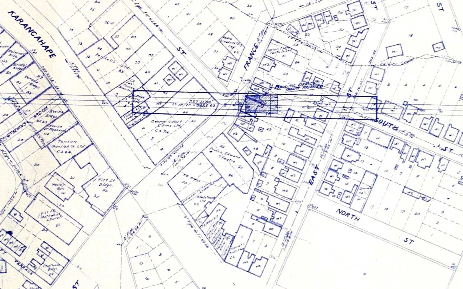
Talk of an underground rail system for Auckland started in the 1920s. An underground rail link known as the Auckland Morningside deviation was proposed.
In 1928 and 1929, detailed plans were drawn up for the route. It began on the main trunk line station on Beach Road on Auckland’s waterfront, travelling underneath the central business district to Morningside on the North-Western route to Kumeū. The cost of the tunnel was estimated to be £440,000.
Search for files that refer to the Auckland Morningside deviation (Item code: R26181488)
1940s: The Halcrow & Thomas report
In the 1940s, the Ministry of Works revisited Auckland’s underground rail ambitions, developing a comprehensive transport plan that refined the earlier Morningside proposal. The report recommended railway electrification, an underground city loop and a western suburban loop.
While Wellington’s rail network was eventually electrified, Auckland’s plans remained on the drawing board until 1949, when the government commissioned a report into Auckland’s suburban rail network. The 1949 Halcrow & Thomas report recommended electrification and the building of the Morningside underground link.
Search for files related to Halcrow & Thomas Report, 1949 (Item code: R22457799)
1950s: The Master Transport Plan
At first, the priority for railway construction under the plan was the Auckland Morningside deviation. This would take a similar, but not identical, route to the plan developed in 1929.
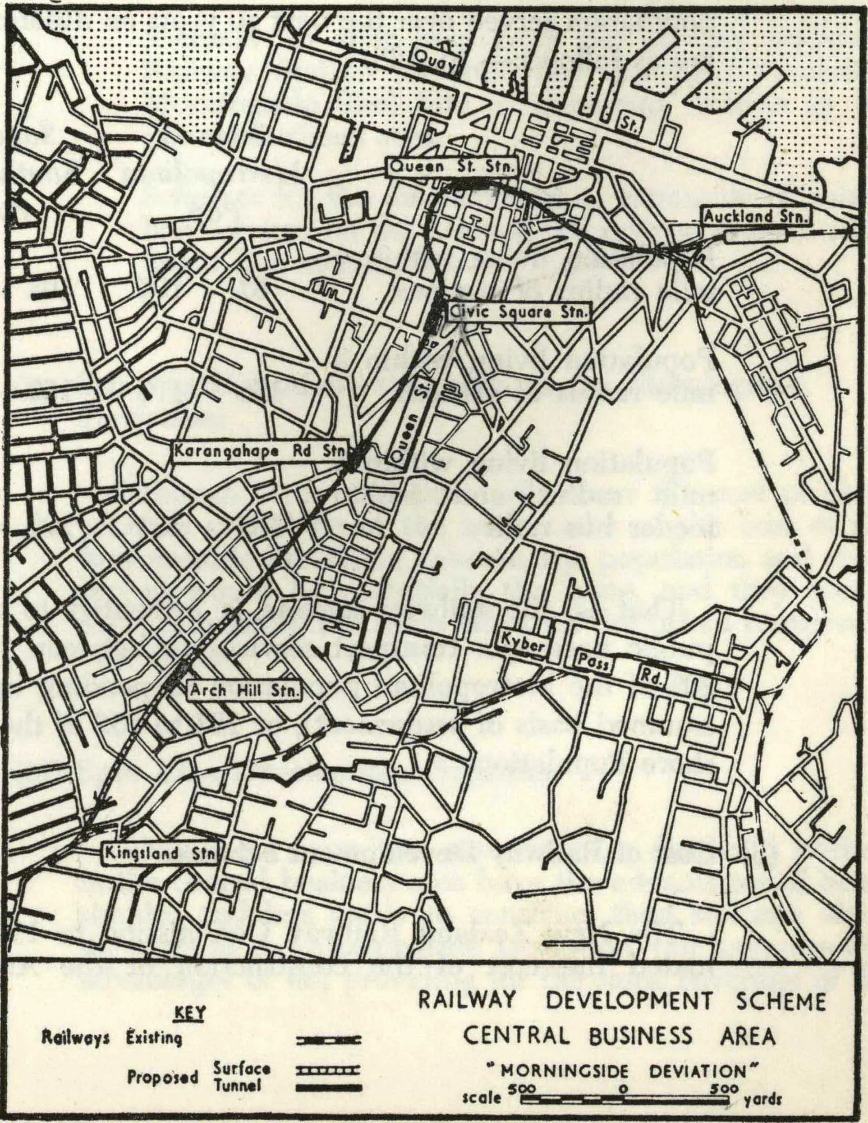
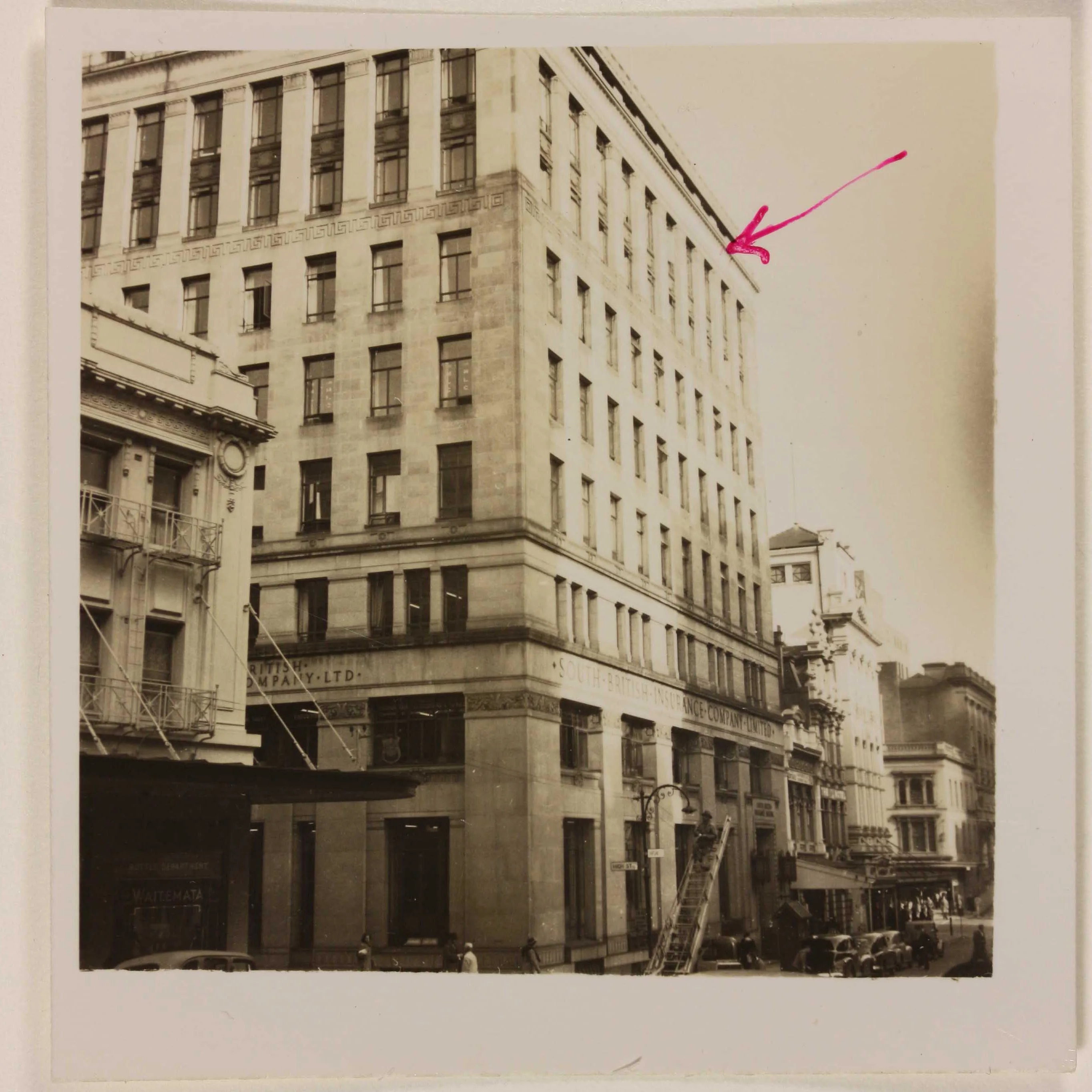
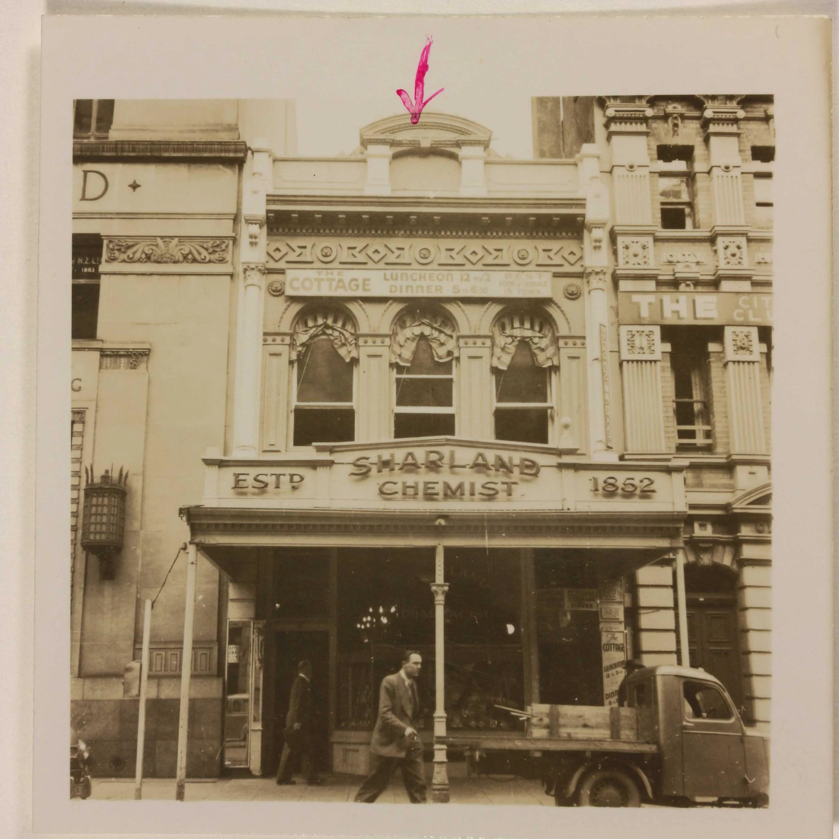
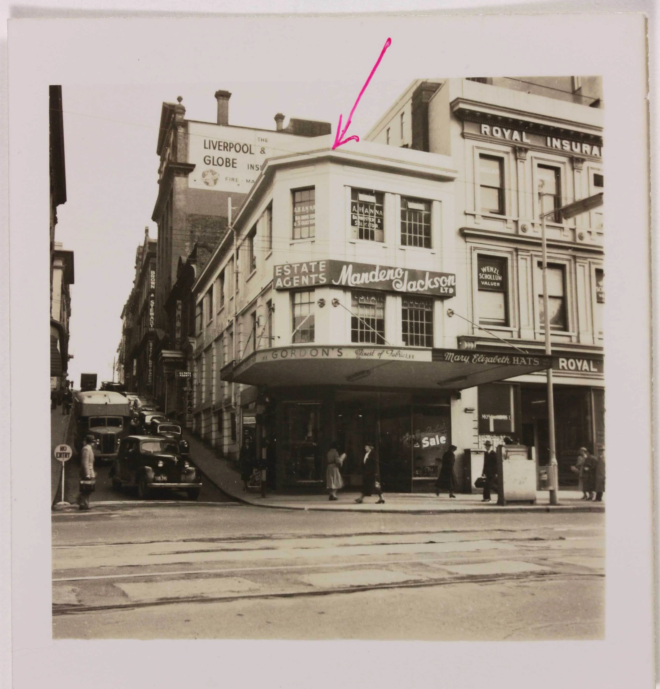
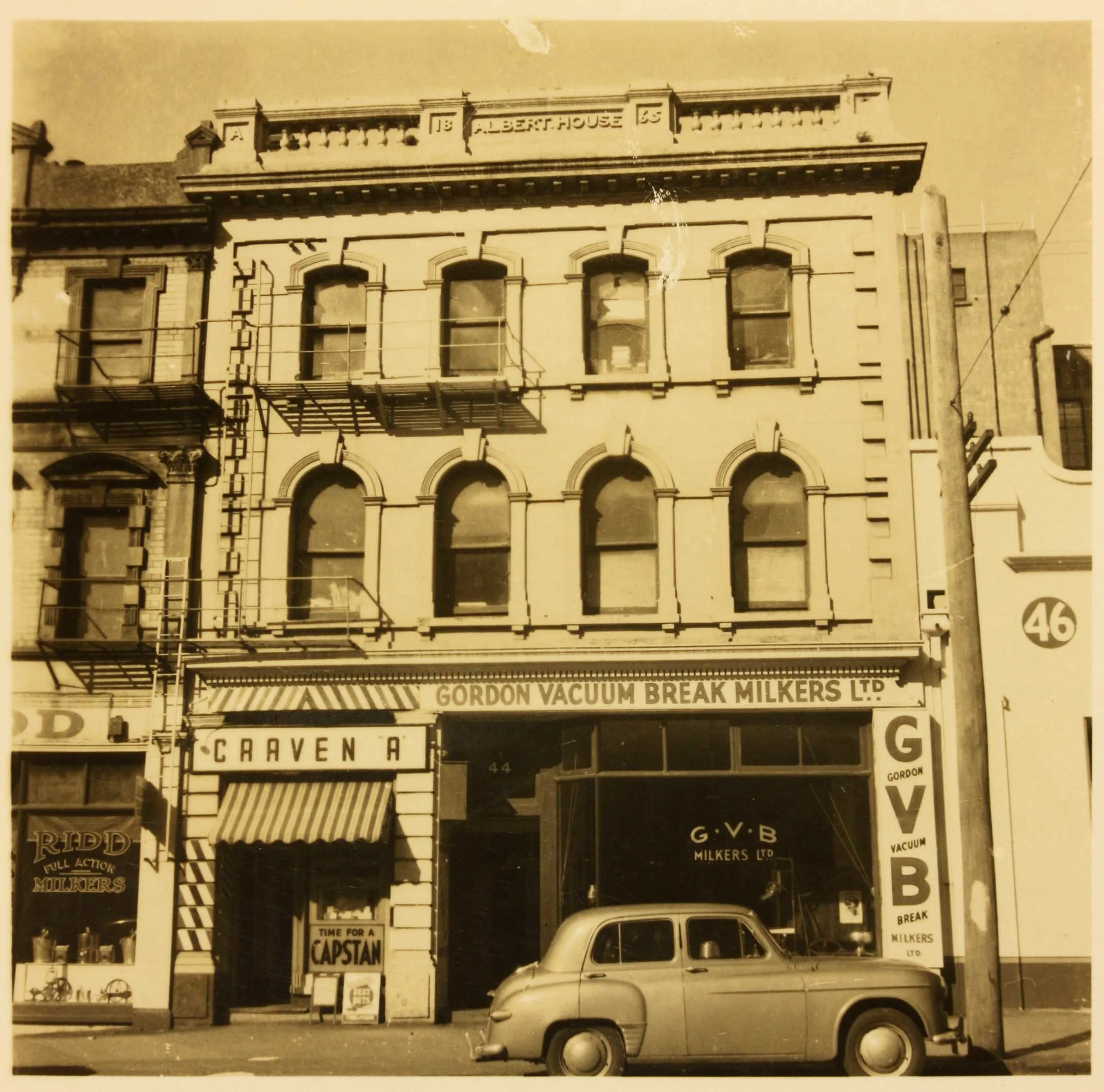
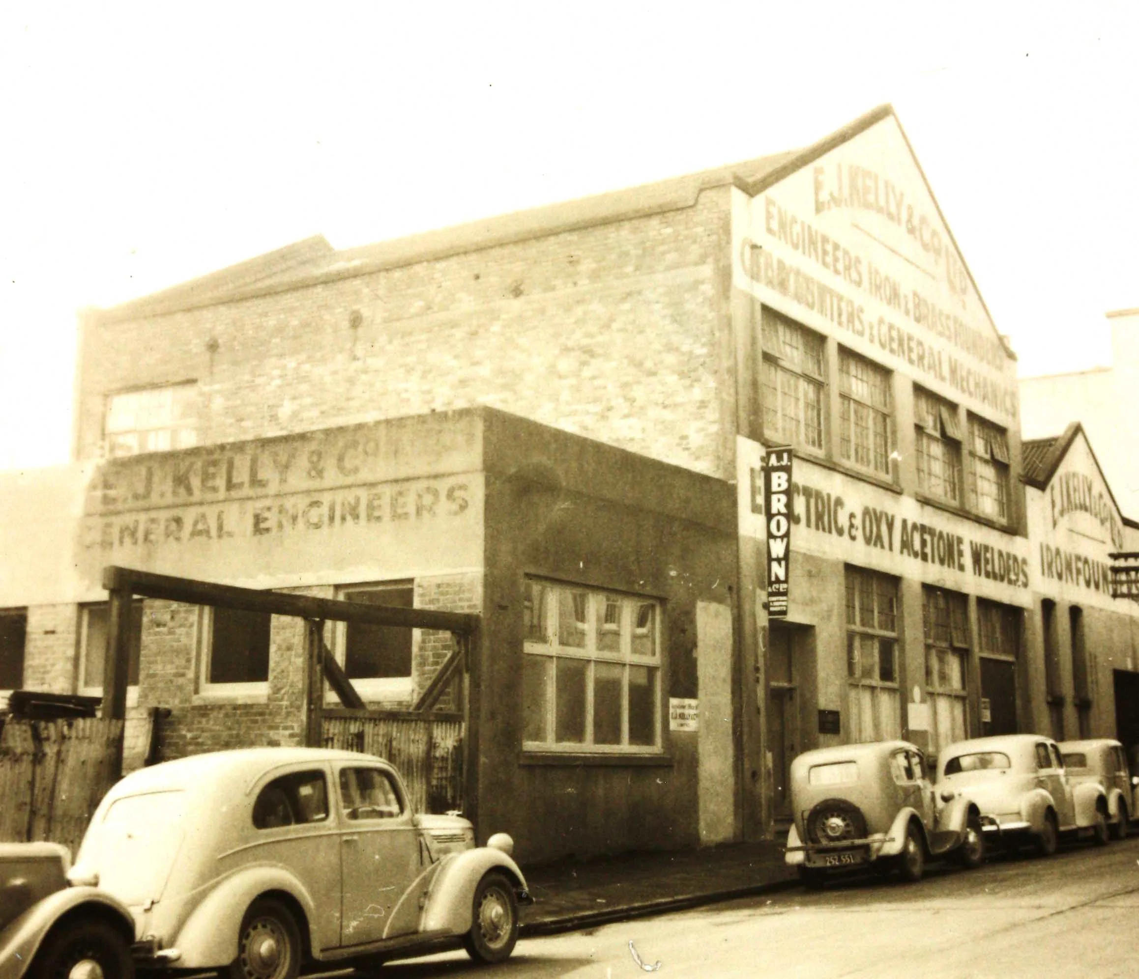
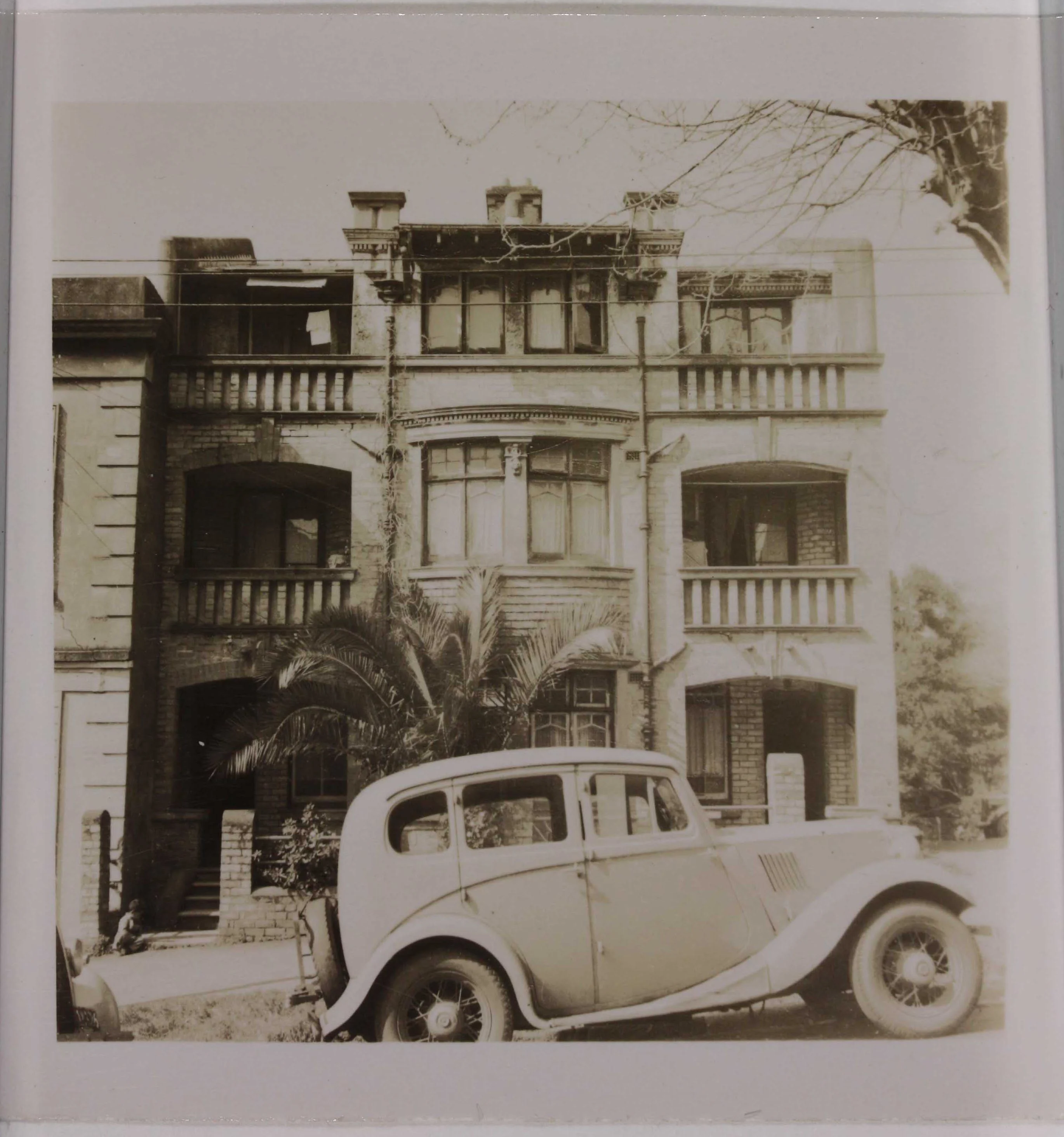
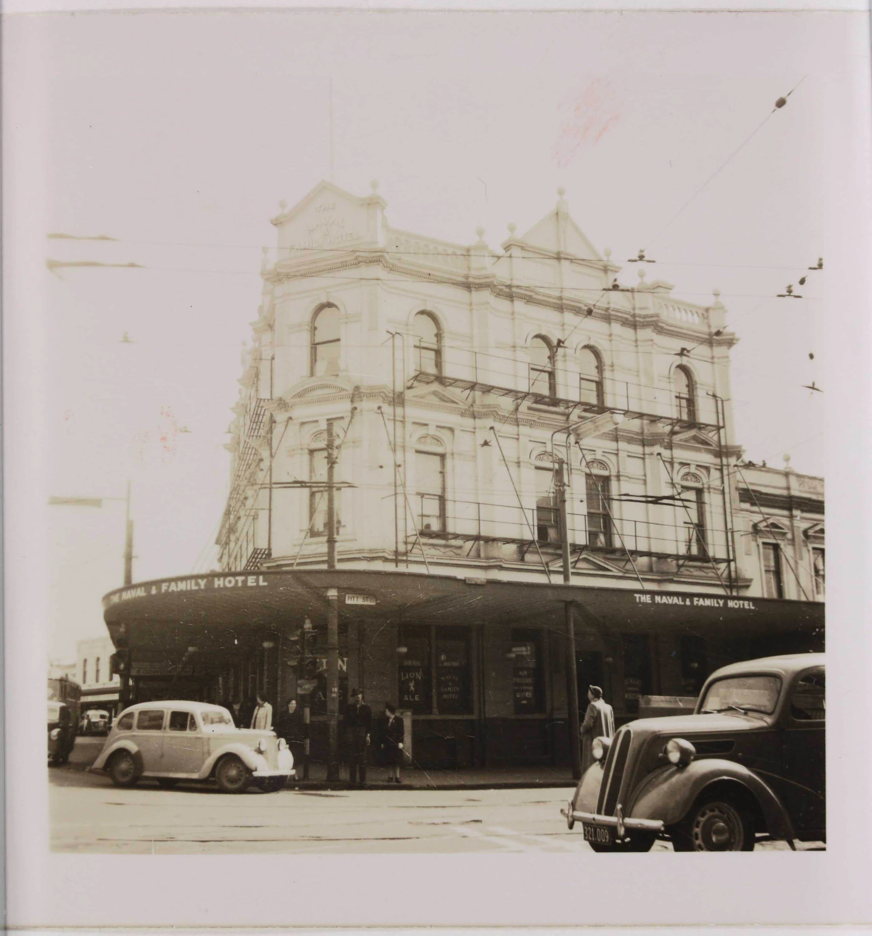
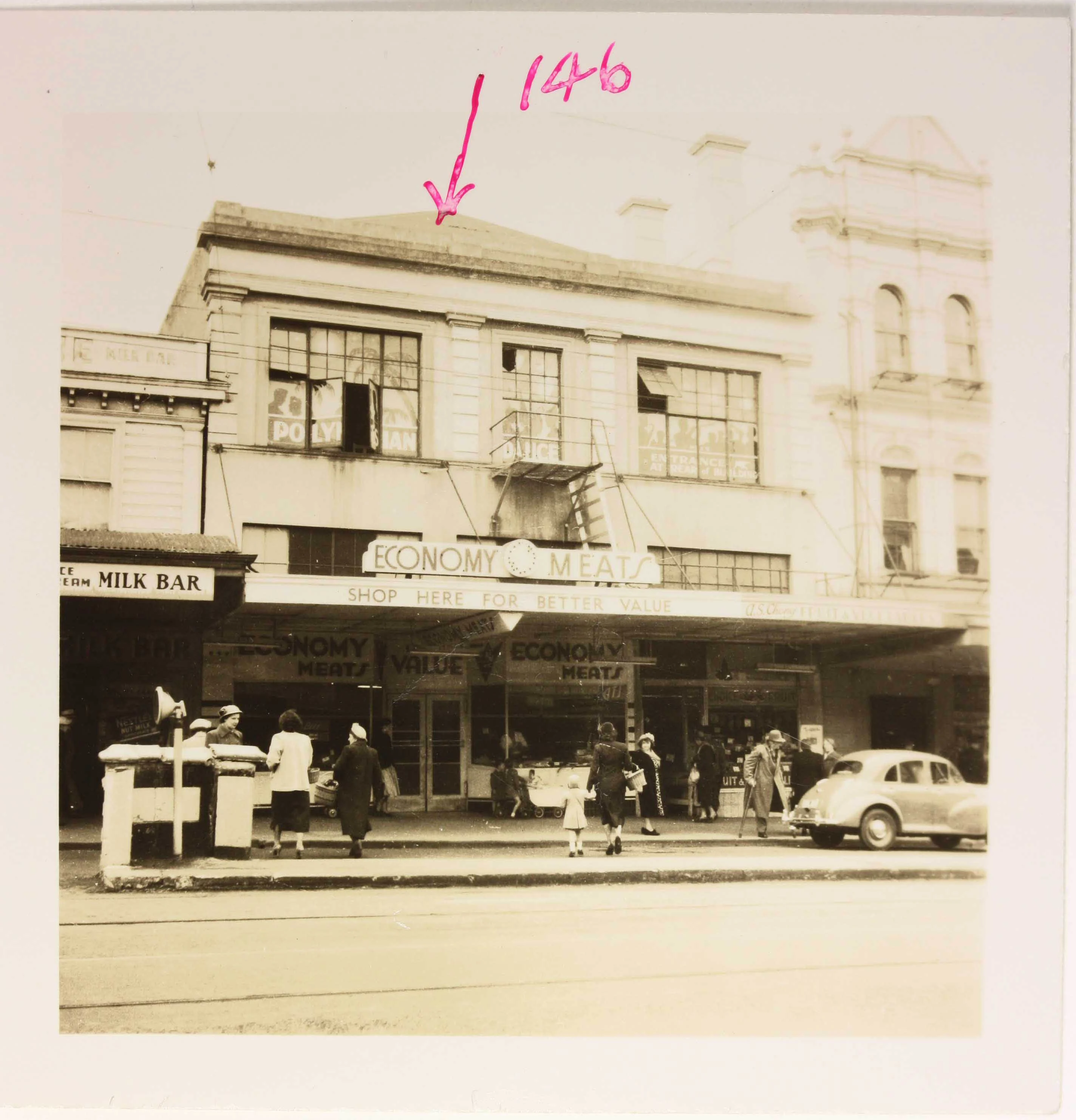
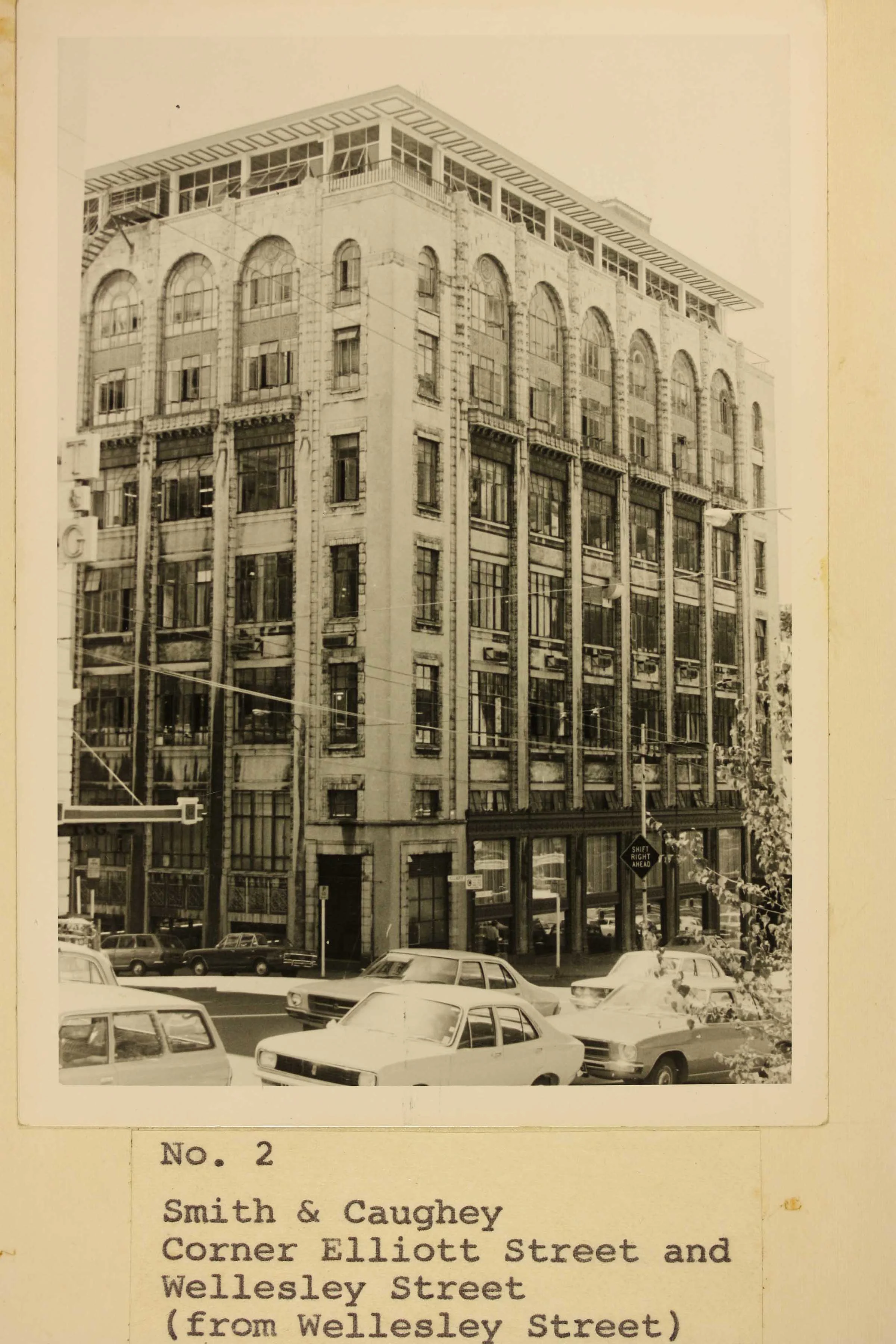
To prepare for construction, during 1952 and 1953 an investigation of buildings along the proposed route was undertaken. Building condition, type of foundation and building value were noted. This investigation, including photos of buildings along the proposed route, can be found in Archives New Zealand.
But in 1955, the Auckland Regional Planning Authority’s final Master Transport Plan for Metropolitan Auckland recommended investing in motorways rather than railway. Auckland’s electric trams were ended in 1956.
-
![A sepia photo showing the corner of the South British Insurance Company building.]() Click to expand
Click to expand
-
![A sepia photo showing Sharland's Chemists from the road]() Click to expand
Click to expand
-
![Sepia photo of a building from the street]() Click to expand
Click to expand
-
![A sepia shot of a building from the street]() Click to expand
Click to expand
-
![Sepia photo of a factory from the street]() Click to expand
Click to expand
-
![Sepia photo from the street of a three story building]() Click to expand
Click to expand
-
![Sepia photo of a hotel from the street]() Click to expand
Click to expand
-
![Sepia photo of a building from the street]() Click to expand
Click to expand








1960s and 1970s: The Auckland Rapid Transit project
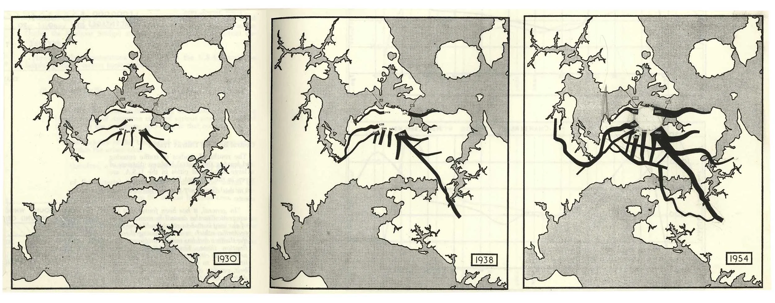
Traffic congestion continued to be a problem during the 1960s, despite the building of new motorways and the opening of the Auckland Harbour Bridge in 1959.
In 1963, the Auckland Regional Authority commissioned a report from San Francisco transport engineering firm De Leuw Cather & Co. It promoted motorways, and also a coordinated bus and train network.
In 1968, an Auckland Rapid Transit (ART) committee was formed to investigate railway solutions to Auckland’s transport problems. Detailed planning was done and investigations completed.
It was decided that the priority was for a city underground line to be constructed in two phases: Auckland mainline station to the Civic Centre first, then under Karangahape Road to Newmarket (a similar route to the Auckland Morningside deviation).
Search for files related to the Auckland Rapid Transit project, 1955 to 1973 (Item code: R262008)
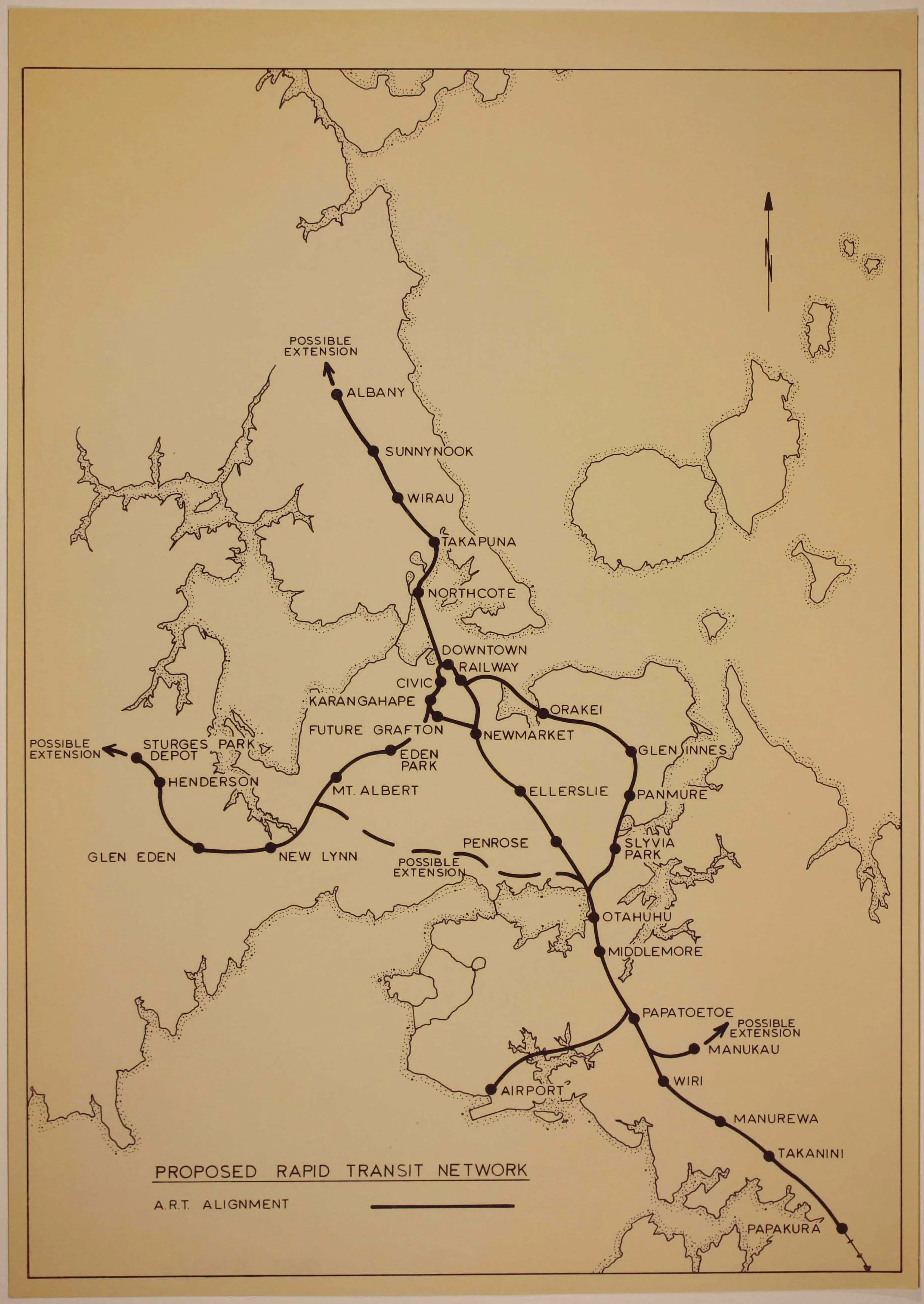
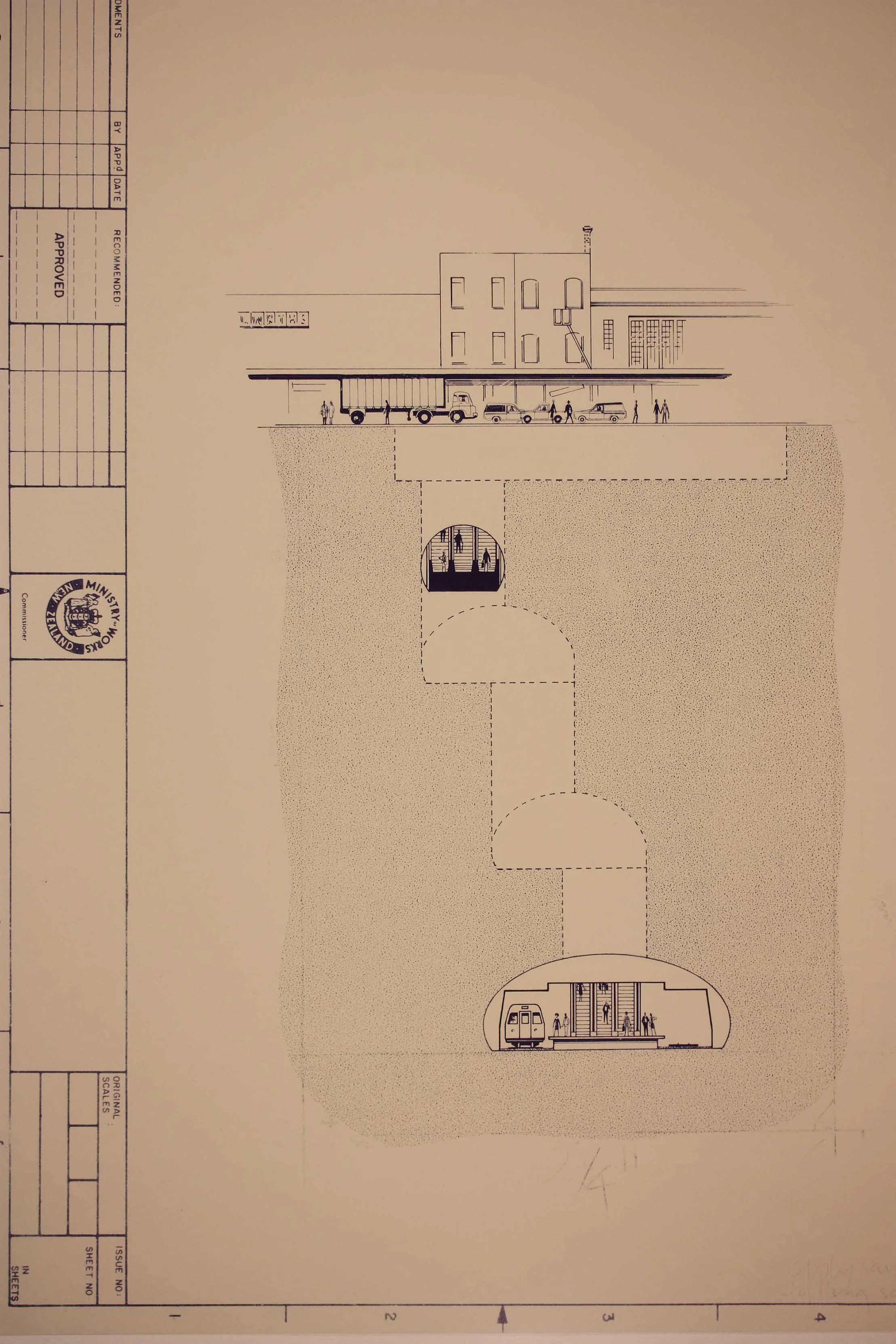
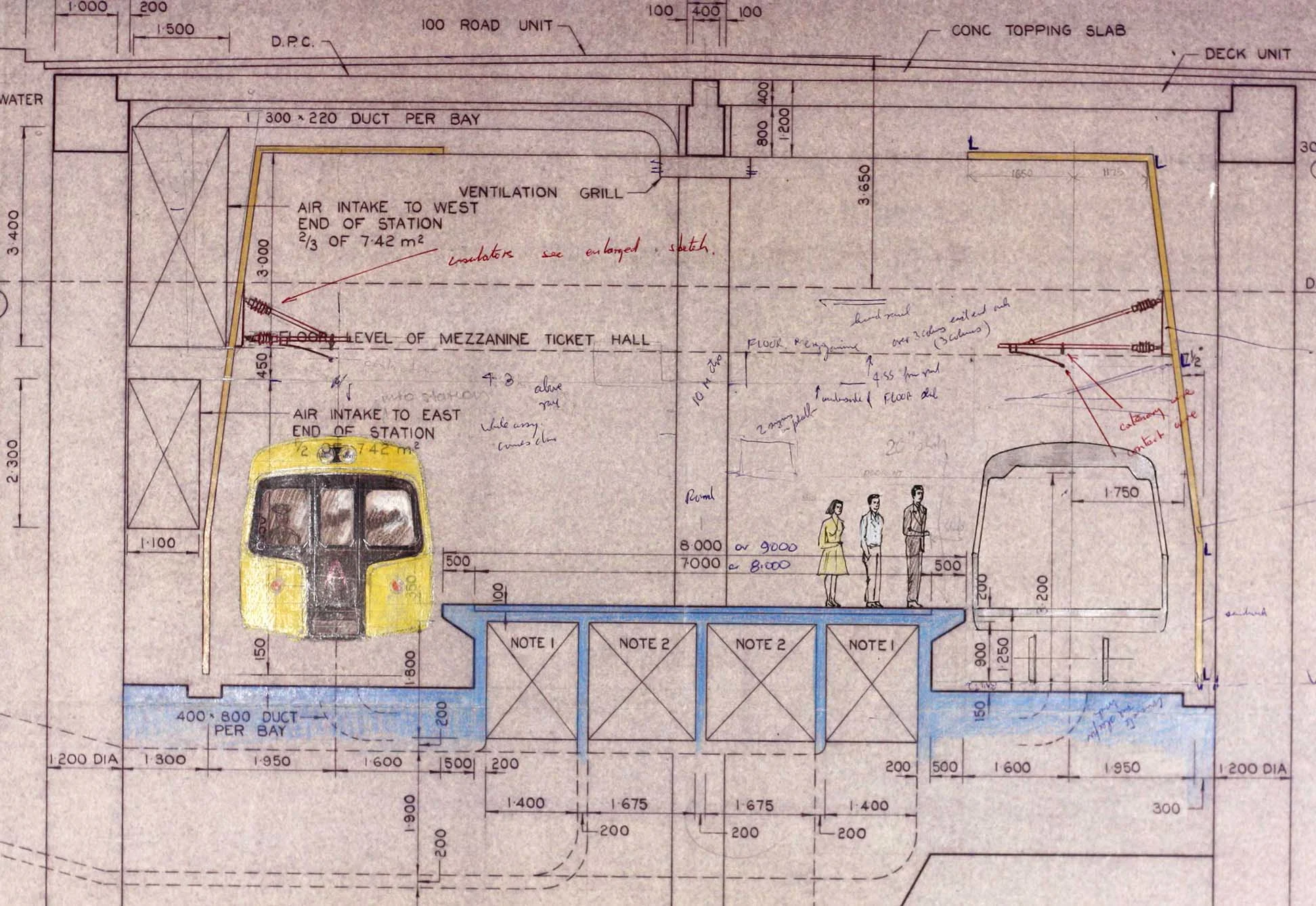
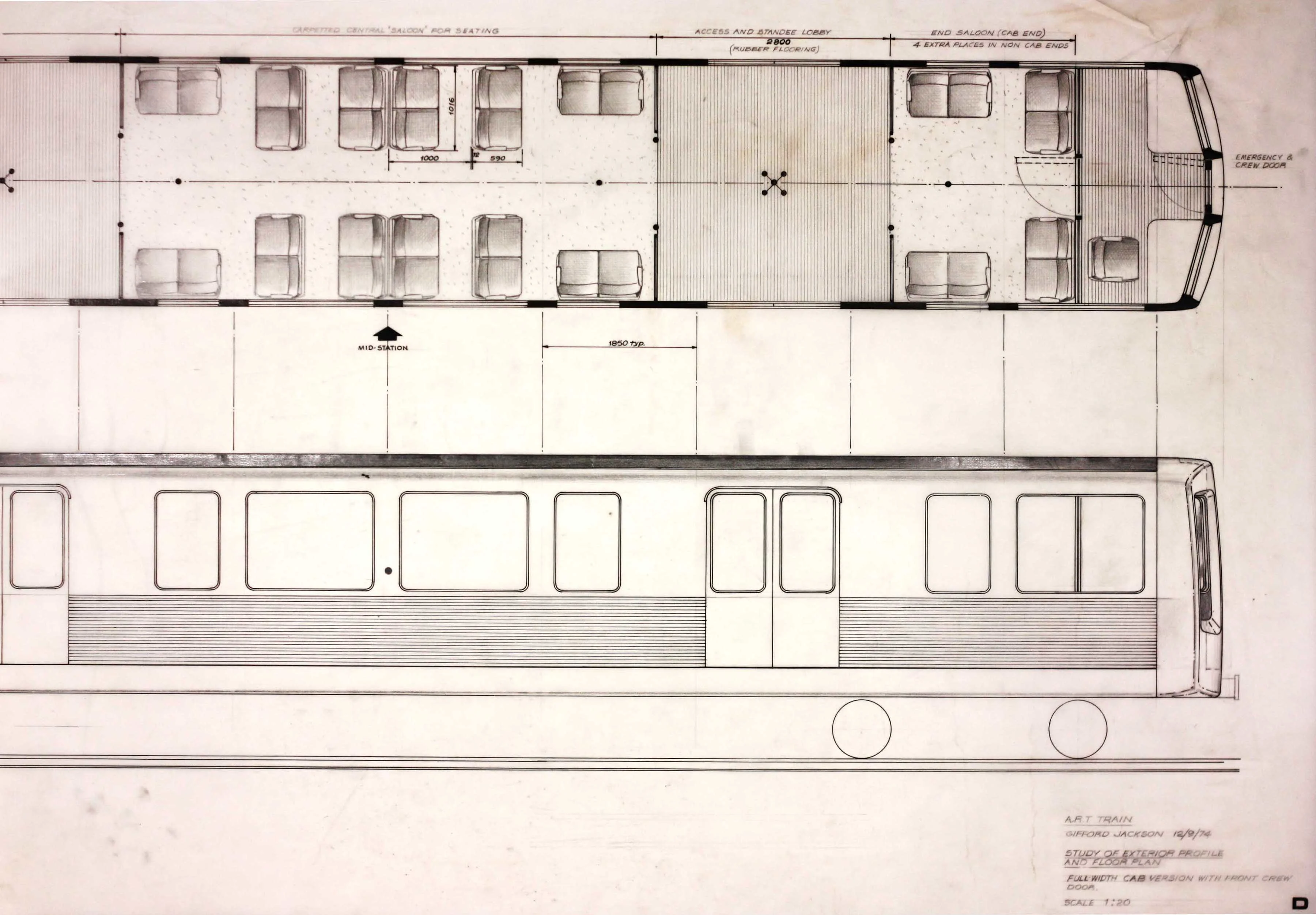
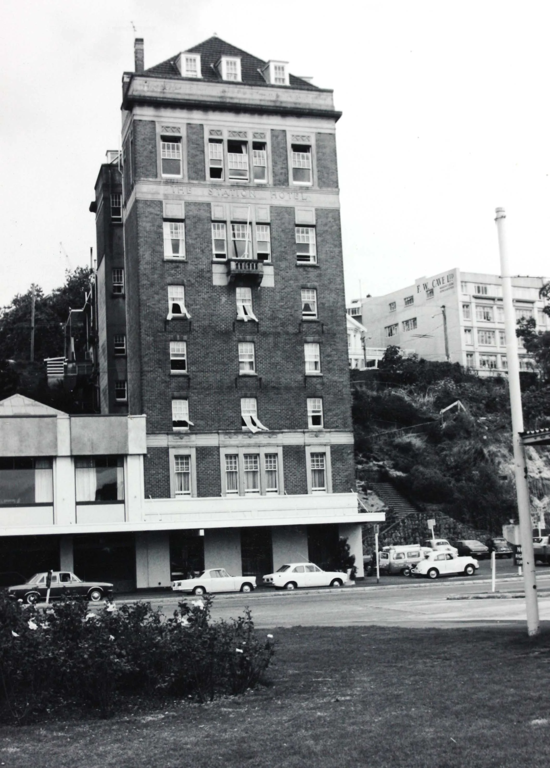
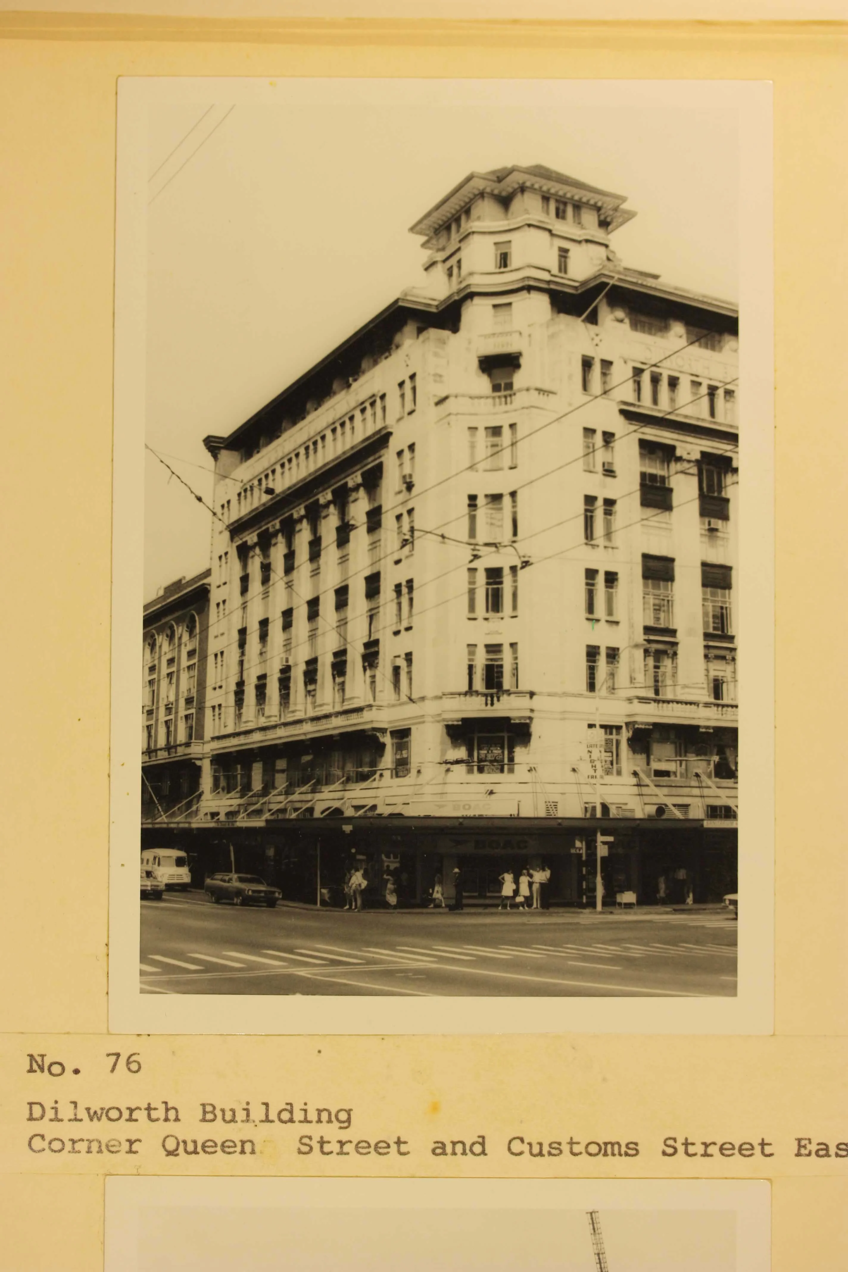
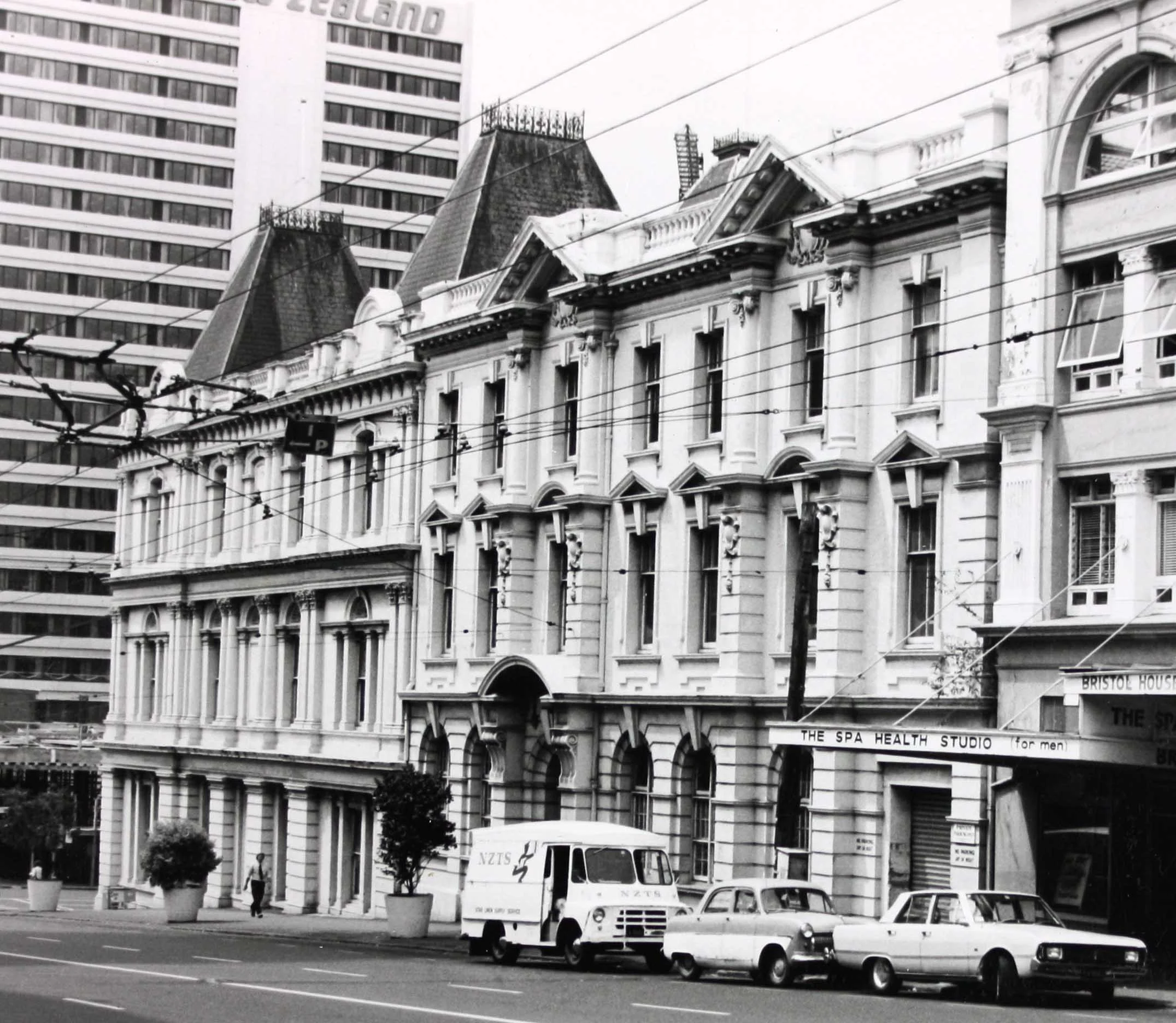
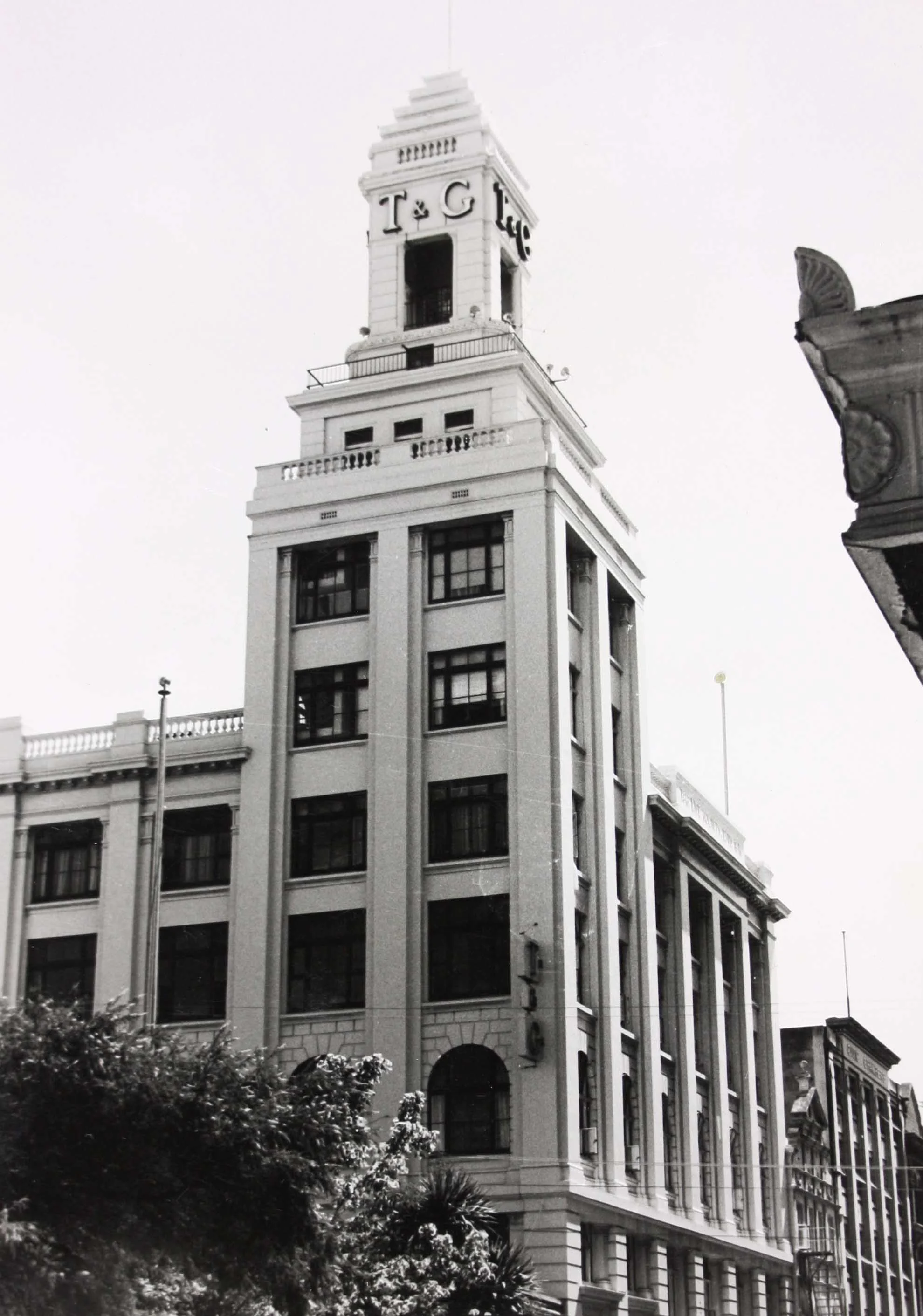
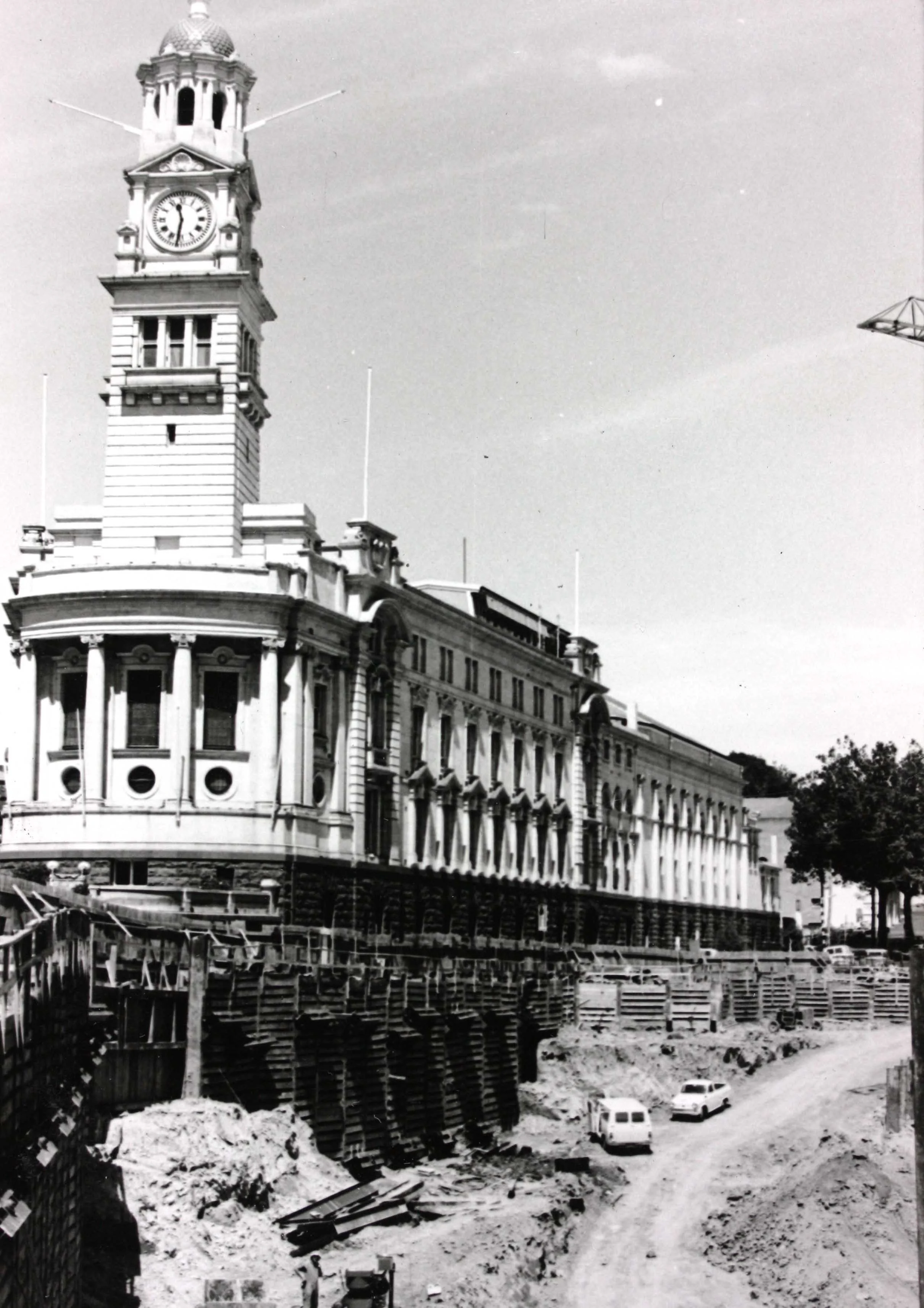
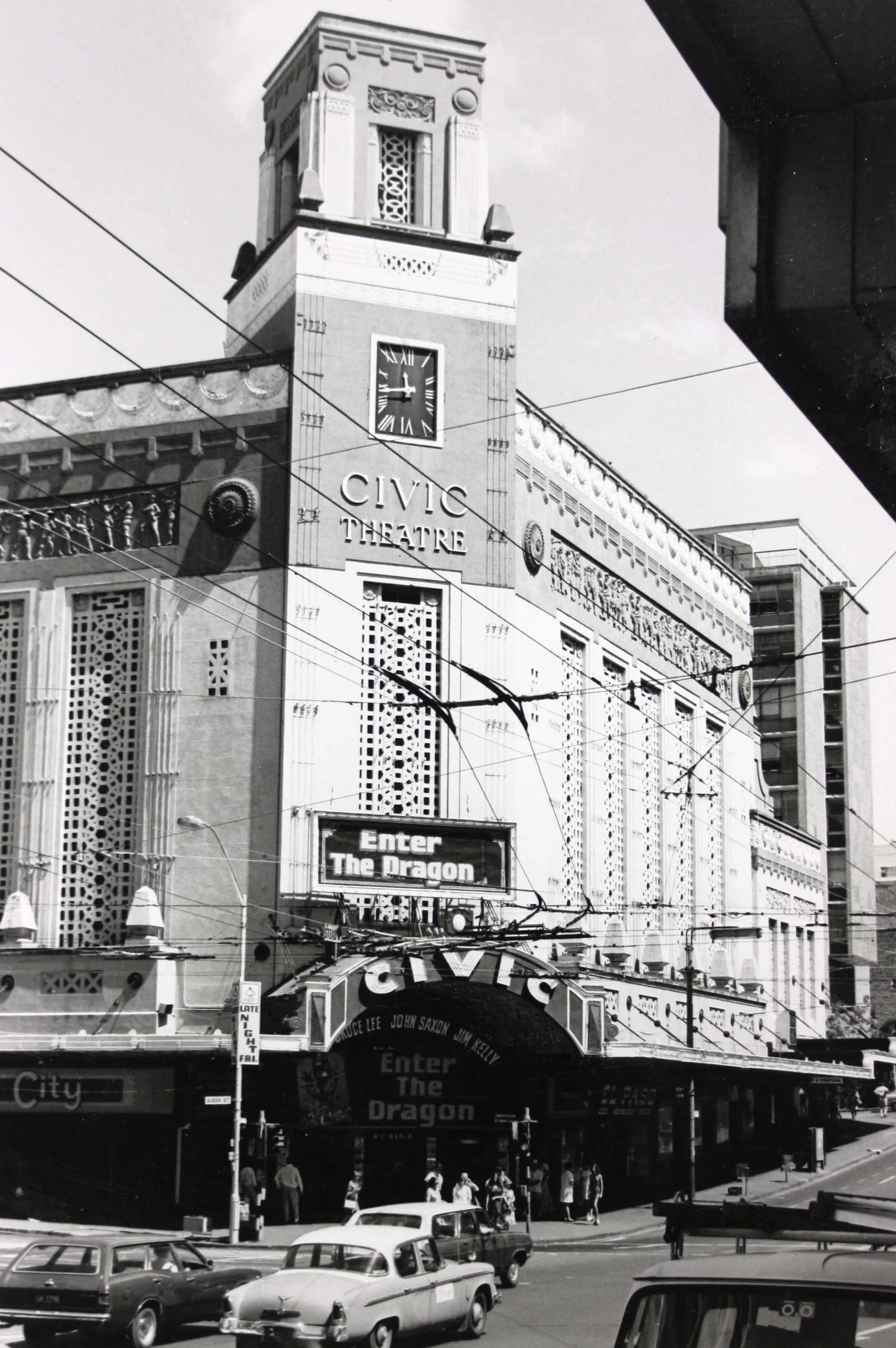
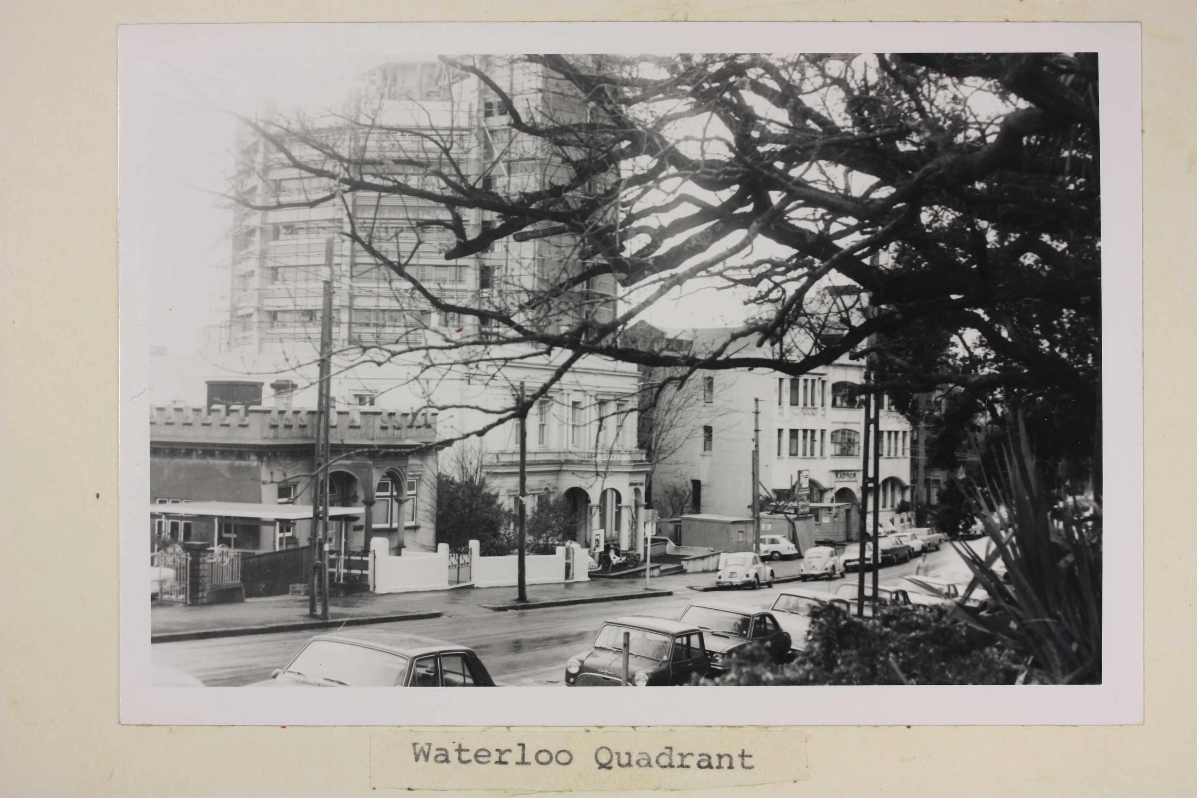
Again, as part of the investigations, photographs were taken of some of the buildings along this route in 1973. There would be a system of bus services linked to the rail services; trains would run with a minimum off-peak frequency of ten minutes; and fares would be based on a zone structure, with ticket transfer between bus and rail.
But ART was disbanded on 31 March 1976, and plans for underground rail were stopped. It wasn’t until the 1990s that the push for electrification and for expansion of a passenger rail network was revived, this time by the Auckland Regional Authority.
-
![Black and white photo showing the front of a tall building]() Click to expand
Click to expand
-
![Sepia photo showing the corner of a building from the street]() Click to expand
Click to expand
-
![Black and white photo of a building from the street]() Click to expand
Click to expand
-
![Black and white photo of a building from the street]() Click to expand
Click to expand
-
![Black and white image of Auckland Town Hall from the street]() Click to expand
Click to expand
-
![Black and white photo of the Civic Theatre from the street]() Click to expand
Click to expand
-
![Sepia photo of a department store from the street]() Click to expand
Click to expand
-
![Black and white image of a number of buildings with the silhouette of a tree]() Click to expand
Click to expand








21st century: The City Rail Link project
Eventually, the City Rail Link project picked up the work started more than a century ago. One day, the records for the project (2015 to 2026) will be transferred to Archives New Zealand and the Auckland underground story will continue.
What will Tāmaki Makaurau’s underground transport network look like by the end of the 21st century?
This blog post
We updated and republished this blog post in September 2026, with some additional text.